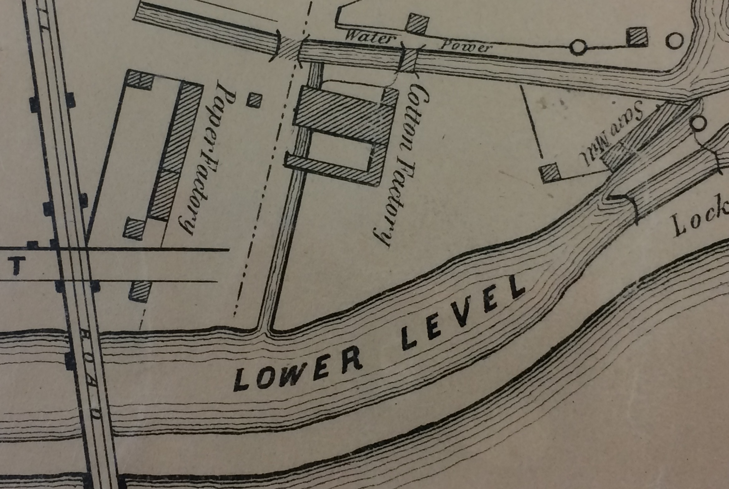
Water power plant behind the canal lock, with saw mill, paper and cotton factories north of the Rail Road Bridge, 1847
Detail from a map of New Brunswick and surrounding areas, surveyed August 1847 by James H. Newell [Rutgers Special Collections and University Archives, MP/3813/M50/213/1847AA]